Intelligent
Aerial Operations
For Africa
Enterprise-grade autonomous systems delivering real-time intelligence for Oil & Gas, Security, Infrastructure, and Emergency Operations.
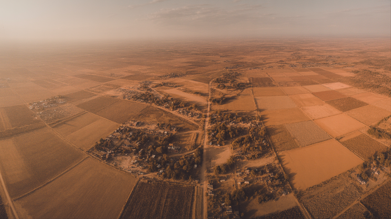
Transforming How AfricaSees From Above
From precision agriculture to critical infrastructure, our platform delivers actionable intelligence at scale.
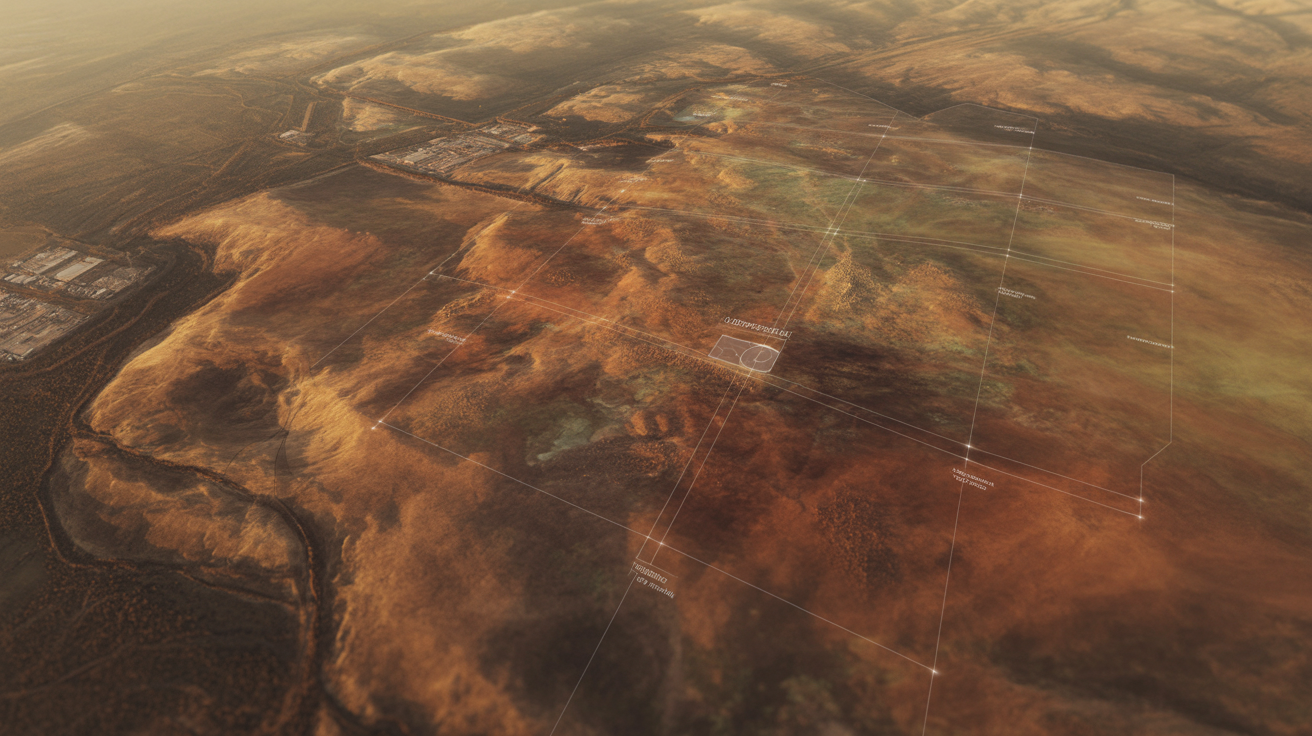
Precision Mapping & Surveying
High-resolution aerial data capture for terrain analysis, volumetric measurement, and environmental monitoring.
Operations Monitoring
Continuous surveillance and real-time analytics across all deployment zones.
Uptime Reliability
Enterprise-grade system availability with redundant failsafes.
Enterprise Clients
Trusted by leading organizations across government, energy, and infrastructure.

Pipeline Inspection
Data Points Analyzed
Processing millions of data points daily through our AI-powered analytics engine for actionable intelligence.
Operations Across Africa
Mission-CriticalSolutions
Autonomous intelligence platforms designed for Africa's most demanding operational environments.
Trusted Across Key Industries
Delivering operational intelligence to Africa's most critical sectors.
Ready to TransformYour Operations?
Join Africa's leading enterprises leveraging intelligent aerial operations for mission-critical outcomes.